Historical (2000–2010) Macquarie Marshes plant monitoring data now available on SEED
The Macquarie Marshes, a Ramsar-listed wetland in northwest NSW, became a key site for the Integrated Monitoring of Environmental Flows (IMEF) program in 2000, aimed at understanding how environmental water influences wetland vegetation and biodiversity (Chessman et al. 2003).
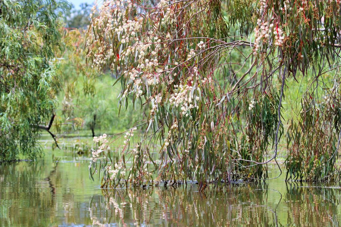
Led by Renee Kidson, the first surveys recorded 112 plant species during a notably wet year, using fixed transects across the marshes (Kidson et al. 2012; Chessman et al. 2007). Monitoring continued under Chris Knight (2001–2006), with reports by Baker (2003) and Love (2004) highlighting vegetation responses to water releases and short-term inundation effects. From 2008 to 2010, Patrick Driver led the program, adding sites like Wilgara, a private Ramsar wetland, and reinforcing the value of landholder collaboration (Driver and Knight 2007). During the Millennium Drought, vegetation diversity and abundance declined, but later flows triggered strong recovery, including increased water couch and spike-rush (Michener and Driver 2010).
IMEF data and reports from 2000–2010 are available on SEED, alongside related Rivers Environmental Restoration Program (RERP) monitoring sites. In 2024, the dataset supported honours research by Will Wright under Professor Richard Kingsford, contributing to the Flow-MER initiative. Though IMEF is now historical, its data remains essential for ongoing water management and ecological monitoring across inland NSW.
-------------------------------------
References
Baker, T. (2003). Marshes wildlife allocation vegetation response report. NSW Department of Infrastructure Planning and Natural Resources.
Chessman, B., et al. (2007). Method 18a: Wetland Vegetation Survey – Large Wetlands. NSW Department of Water and Energy.
Chessman, B., et al. (2003). IMEF for 1998–2000: Integrated Monitoring of Environmental Flows. NSW Department of Infrastructure, Planning and Natural Resources.
DCCEEW (2025). Metadata Statement – Questionnaire_HYP7-Macquarie Groundcover Vegetation. NSW Department of Climate Change, Energy, the Environment and Water.
Driver, P.D. and Knight, C. (2007). Macquarie Marshes 2005–06 Environmental Flow Report. NSW Department of Natural Resources.
Kidson, R., et al. (2012). IMEF Annual Report – Macquarie Valley. Recovered version of the original, unpublished 2000 report.
Love, D. (2004). Operation and Performance Report 2002–2003: Macquarie Marshes Water Management Plan 1996. NSW Department of Infrastructure Planning and Natural Resources.
Michener, R. and Driver, P.D. (2010). 2009–10 Environmental Flow Report to the EFRG. NSW Department of Water and Energy.
Linked Datasets
-
The IMEF program generated multiple reports on program design, methodologies, and outcomes for environmental flow monitoring across NSW. Data was collected until 2012 in a range of ...