Case studies and insights
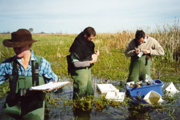
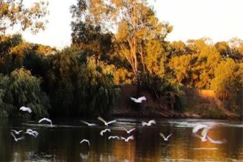
The Macquarie Marshes, a Ramsar-listed wetland in northwest NSW, became a key site for the Integrated Monitoring of Environmental Flows (IMEF) program in 2000, aimed at understanding how…
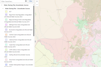
Our open spatial dataOpen data promotes transparency, supports community engagement, and encourages innovation. In line with our Open Data and Information Guideline and our open data…
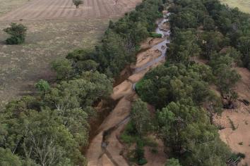
The team from Surface Water Science surveys channel features and long-term impacts to geomorphic condition as part of the NSW River Styles project. The geomorphic team conducts desktop…
Healthy rivers are vital to many of our native ecosystems and species. Low or no flow in a river can raise salinity, contribute to algal blooms, and affect estuary and marine health. It…
A short record of variable climateAustralia’s climate is a vast and complex thing, and we know it is changing. Our climate is already naturally variable. This makes understanding the…