Modelling data to know the past and plan the future
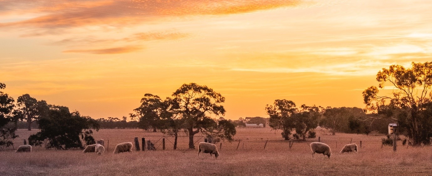
Water is a precious resource. To manage it well we need to understand climate risk to future water supplies.
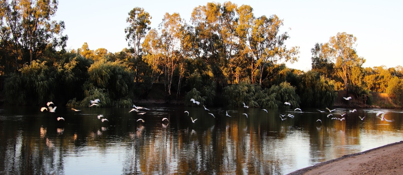
A short record of variable climate
Australia’s climate is a vast and complex thing, and we know it is changing.
Our climate is already naturally variable. This makes understanding the risk of future climate change even more difficult.
To successfully model how future climate might affect our water resources, and make sound decisions about those resources, we need climate data. But our observed climate record is only about 130 years long—and in climate terms that’s a very short time. To really understand what we face we need a much longer dataset.
So to anticipate our future climate we’ve worked to map the climate of the past–building new datasets about the last 10,000 years of NSW climate.
Building a better picture of the past
By combining observed Australian climate data from 1889 on with paleodata from tree growth rings, ice and coral core samples, and stalactites and stalagmites, we built a climate dataset for the last 500 years. We applied known climate drivers like the Interdecadal Pacific Oscillation and east coast lows and used stochastic methods to generate much longer datasets.
The result of this work is 10,000-year daily data about Australian climate and climate variability.
Putting the data to use
The new data have already been used in developing our regional water strategies. These strategies are our roadmap for the next 20 to 40 years, so they must be supported by the best and latest evidence.
When we develop a regional water strategy, we create a long list of options for future river system management. We narrow these options down to a shorter list of preferred options. Then, to be sure we understand future risk and choose the right way forward, we review the shortlisted options using climate risk data.
Our 10,000-year stochastic climate dataset was essential to this process. It provided the climate risk data we needed to model the impacts of our water management options under 3 future climate scenarios.
The future climate scenarios we modelled these options for were:
- a future climate that reflects our very short 130-year historical record
- a future climate similar to that of the last 10,000 years, based on the stochastic dataset
- a worst-case dry future climate, also based on the new stochastic dataset.
 We built the worst-case dry climate projection by applying NSW and Australian Regional Climate Modelling (NARCliM) projections for 2060–2079 to the data. You can learn more about NARCliM at the NSW Climate Data Portal.
Next we took 1,000 samples of 40-year duration from the 10,000-year climate dataset. We used these samples to simulate how the shortlisted water management options would impact all major water users of NSW river systems under each of the 3 future climate scenarios.
We repeated this sampling and modelling approach for all our regional water strategies, which means we can be confident all the finalised strategies are soundly based in evidence.
Learn more about how the stochastic climate data was modelled. You can find the datasets and all supporting documentation here on SEED.
Linked Datasets
<br><!-- Added to create visual spacing between title and Overview --> ## Overview Water Modelli...
- SEED Web Map
- arcgis_rest