Spatial web services—better data sharing for better outcomes
Our open spatial data
Open data promotes transparency, supports community engagement, and encourages innovation.
In line with our Open Data and Information Guideline and our open data framework, the Department of Planning and Environment—Water prefer to publish open spatial data via spatial web services rather than as data files.
These web services include our interactive mapping tools as well as other web map services and web feature services.
Spatial web services are a better way to share our data than data files for many reasons.
Why spatial web services?
More accessible
Spatial web services make data easier to access.
Data files, like shapefiles and geodatabases, can only be used with specialised software (like ArcGIS or QGIS). This makes them less accessible.
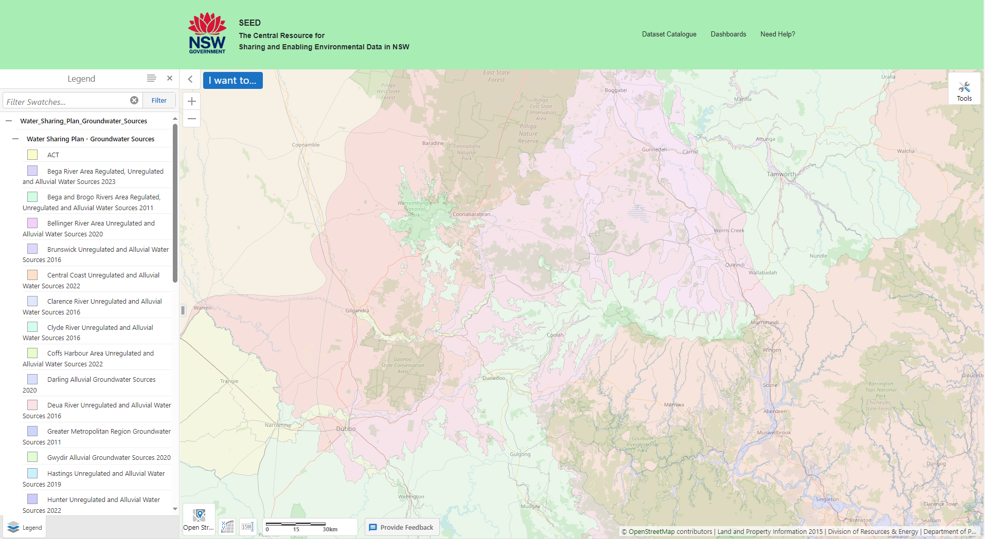
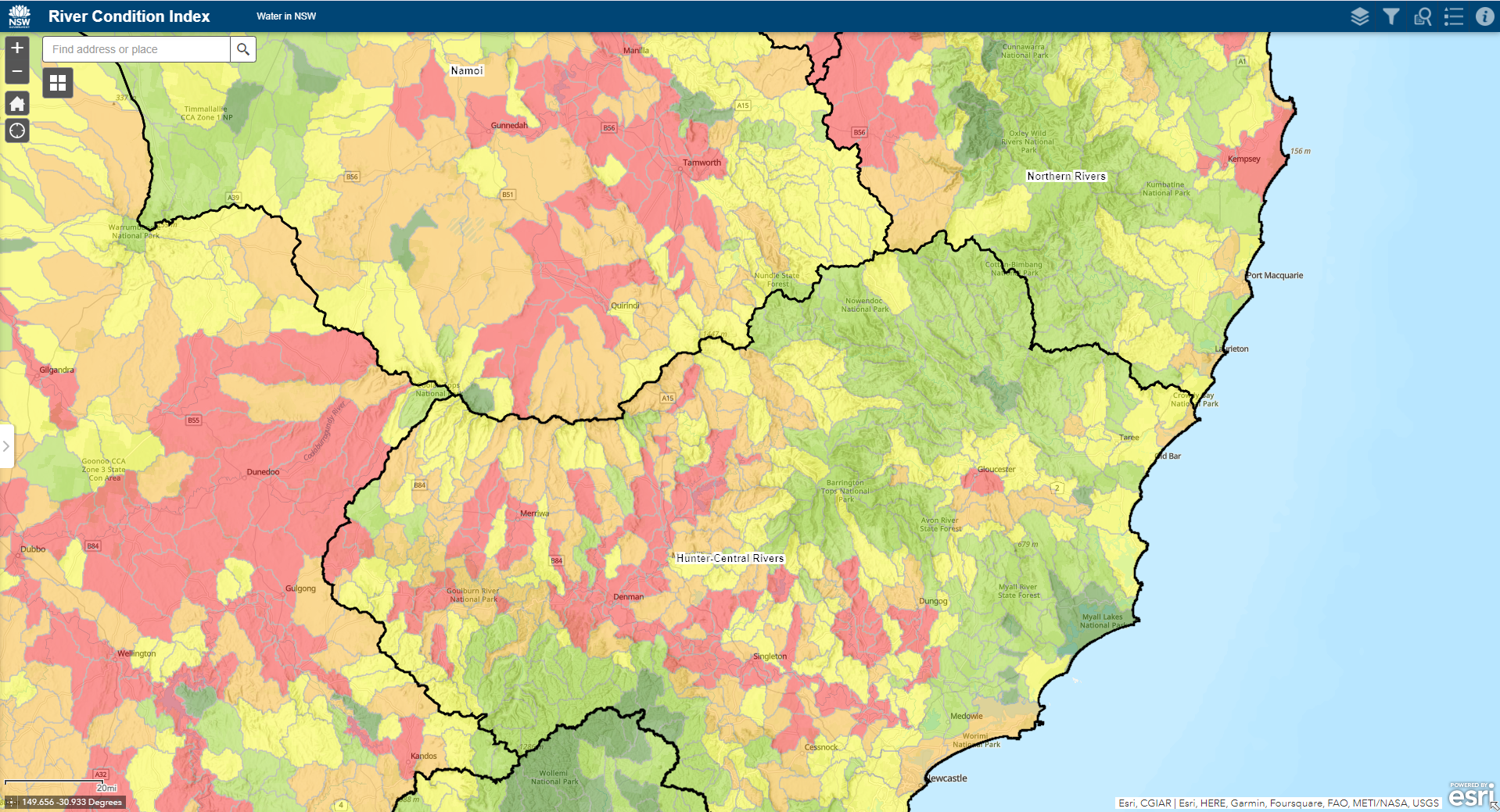
You can use our web map and web feature services through your browser, interactive mapping tools, or specialised applications like SEED Maps and the Spatial Collaboration Portal. Data is presented consistently, in industry-standard formats.
Up to date
Downloaded files go out of date. Data updates aren’t automatically shared. This leads to problems with consistency and version control.
Spatial web services are centralised, so data updates are available to the user as soon as they are made. There’s no need to download the data again.
Different versions of the data available through the web service can be managed and tracked, so updates are transparent.
Easier to work together
Shapefiles and geodatabases are often very big. This makes it harder to share, download and store them—which in turn makes it harder to work with external or remote partners.
Downloading and exporting shapefiles and geodatabases can also change the data. Names and entries might be shortened, or domain and subtype information that normally provides user context might be dropped.
With spatial web services there’s no need for manual file transfers or storage. Everyone who accesses the service, from anywhere, sees the same data and its full context.
You can use our data in other applications or development environments, or integrate it with other platforms. This promotes third-party innovation and improves collaboration between government agencies, other organisations and the public.
Secure
We can secure sensitive open data with access controls and encryption.
More user friendly
Spatial web services can be customised to suit the user or the application.
Web map services provide access to symbolised spatial data. Web feature services allow users tailor their experience by:
- applying custom labels, symbols and map tips
- filtering, querying and exporting data.
This focus on user experience makes it easier for users to find and engage with data.
Using our open data
Our open spatial data is available to the public under a creative commons attribution licence.